Our geography curriculum
Find out more about our geography curriculum and read our FAQs
Contents
- Introduction
- Unit sequence
- Curriculum explainer
- Download
- More about our geography curriculum
- Are all the geography resources available?
- Primary FAQs
✅Preparing for the revised national curriculum
We're updating our teaching resources and curriculum plans and sharing guidance to help schools prepare confidently and reduce workload ahead of the revised curriculum in September 2028, and the updated GCSEs beyond.
Sign up now to receive: 
- the latest updates
- expert guidance
- invitations to webinars
- free resources and helpful content.
Introduction
We’ve worked closely with curriculum partners, subject experts and teachers on our interactive geography curriculum plan. You can also download the plan to use offline to help with your planning.
Our curriculum partners for geography are:
- Geography primary: Geographical Association
- Geography secondary:
- KS3: Geographical Association
- KS4: Geography South West
You can read more about how our expert groups helped shape our curriculum thinking in our Blog: Collaborating with our geography expert group.
Find out more about how to use our interactive curriculum plans and adapt them for your school in our help article: A guide to our curriculum plans.
Unit sequence

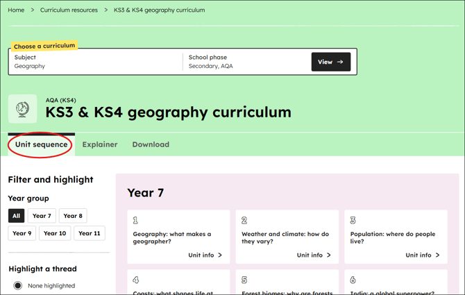
You can view our curriculum sequence using the unit sequence tab. It will display the units available for each year group, how many lessons are available in a unit and a recommended order.
All units have a description of 'why this, why now' and 'prior knowledge requirements' to help you consider the sequence of your current planning.
You can look at how threads develop across an entire phase or filter the view to see a single year group.
Curriculum explainer

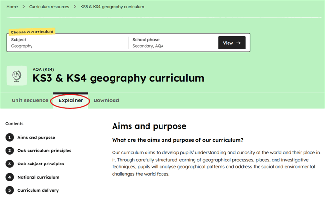
We've added a curriculum explainer to our geography curriculum to help you understand our thinking when we were making them with our curriculum partners.
For geography this will help you understand:
- our overarching curriculum approach and the subject principles we used
- how our curriculum reflects the aims and purpose of the national curriculum
- information on delivering it in your school
- how we use threads to provide curriculum coherence.
Download

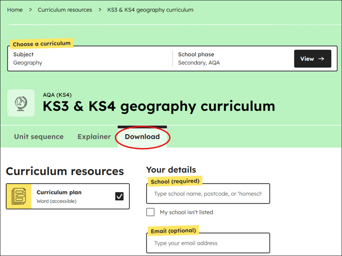
Download the curriculum plan to help you see all the content in one place, including the explainer, the units and the lessons.
More about our geography curriculum
In our geography curriculum video, our geography subject lead Graeme Schofield, explores the key thinking behind the creation of our geography curriculum.
Are all the geography resources available?
All of our lesson planning and teaching resources for primary and secondary geography are available on our website.
Our new units and lessons all have a ‘New’ label beside them.
![]()
You can see what lessons we cover in each unit by clicking into the unit information on the unit sequence page.
Primary FAQs
How will pupils build locational knowledge at KS1 and KS2?
Pupils will build locational knowledge at local, regional, national and global scales throughout the primary curriculum.
At KS1 pupils will build locational knowledge of the seven continents and five oceans, the countries and capital cities of the UK and its surrounding seas, along with a range of knowledge of their local area. Importantly, pupils will develop an understanding of distance, proximity and scale associated with this locational knowledge.
At KS2 pupils will further their locational knowledge through regional studies based in Europe and the Americas and develop deeper locational knowledge of the human and physical features of the UK.
What is the approach to building pupils' place knowledge?
Place knowledge is integrated throughout the curriculum, however, through incorporating regional studies, the curriculum avoids stereotyping places and avoids 'single story' narratives.
Key regional studies include the Lake District in the UK, Lombardy in Northern Italy, Kingston in Jamaica, Dar es Salaam in Tanzania and the Amazon region of South America.
How are pupils encouraged to link geographical learning from different units?
The curriculum is carefully planned for the progression of pupils' knowledge of geographical processes and concepts. The curriculum is therefore sequenced so that pupils can make sense of new units by using existing knowledge from prior learning.
For example, by the time pupils are studying the Lake District in year 4, lessons can draw on pupils' knowledge of weather, rivers and mountains to make sense of the region.
How are fieldwork skills developed?
Fieldwork is integrated into the curriculum from the very first unit and pupils will have the opportunity to investigate their geographical surroundings throughout the course in a variety of contexts. Pupils will develop knowledge of the fieldwork enquiry process and a range of transferable fieldwork techniques.
How will maps be used in the curriculum?
Maps are used in all units to build locational knowledge, develop a conceptual understanding of space, scale and proximity, and teach specific mapwork skills.
How can I use your resources to support in planning local geography?
Teachers can use our local area lessons as a framework to develop pupils’ knowledge of the landmarks, buildings and physical features of their unique local area. Fieldwork lessons can be adapted so that teachers can contextualise investigations so that they focus on their local area or school site.